The Photogrammetry Section of the Surveys Division supports the delivery of Engineering Surveys by providing topographic and terrain information extracted from data acquired through remote sensing techniques. These remote sensing techniques typically include photogrammetric mapping (use of stereo images) and LiDAR. By using remote sensing technologies for mapping, ARDOT can minimize disruption to the travelling public and enhance safety for its personnel by limiting their time in or near the roadway.
Aerial Photography Archive
The Photogrammetry Section maintains a photo archive of aerial imagery dating back to 1968 for ARDOT acquired aerial photography, and back to the early 1940s for some areas from USGS acquired aerial photography. County photography was acquired at five to seven year intervals from 1968 through 2000 for most of the counties in Arkansas. Most of the photography is black and white imagery, with some color imagery available from January 2003 to the present.
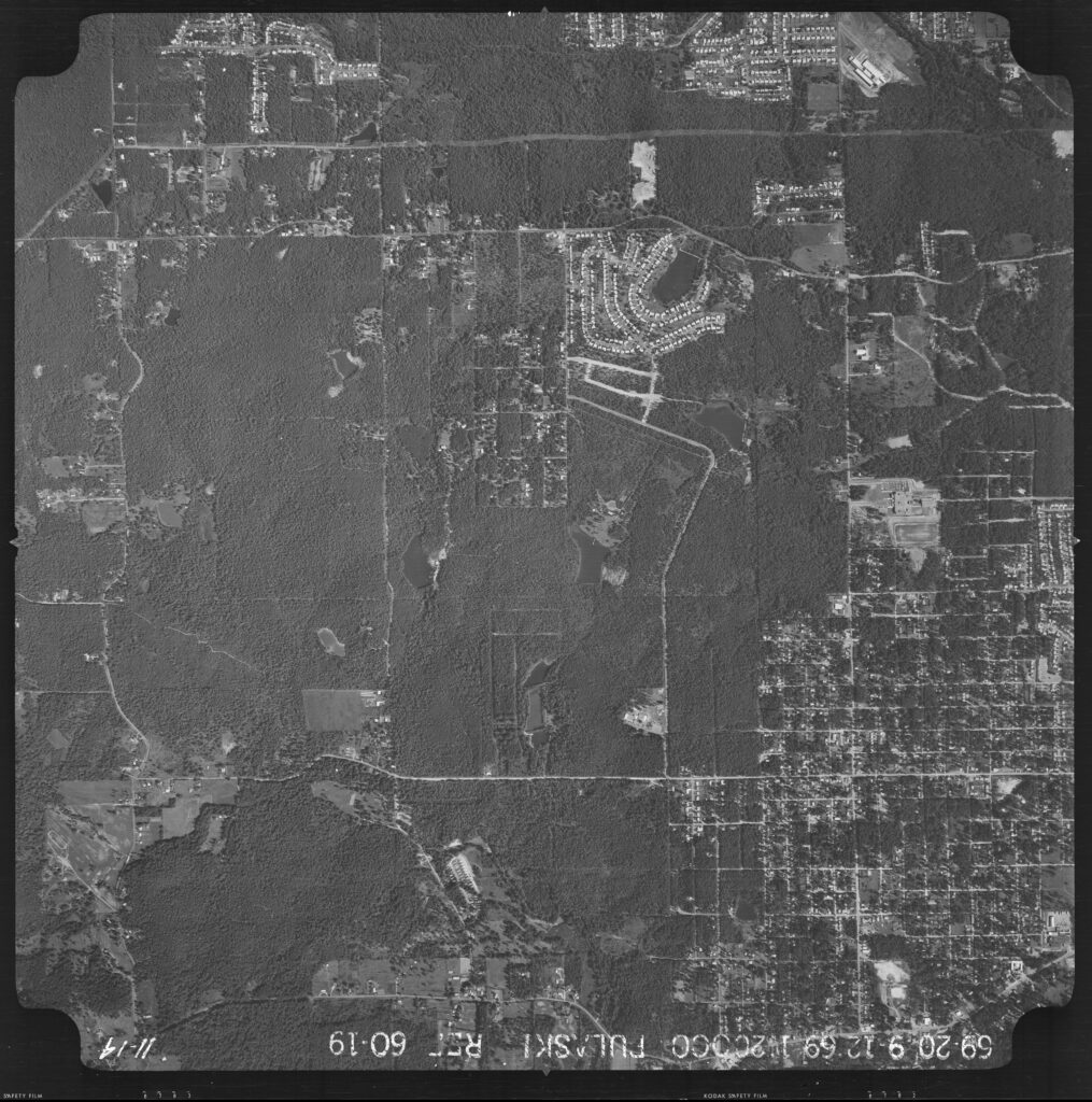
10 x 10 Contact Print 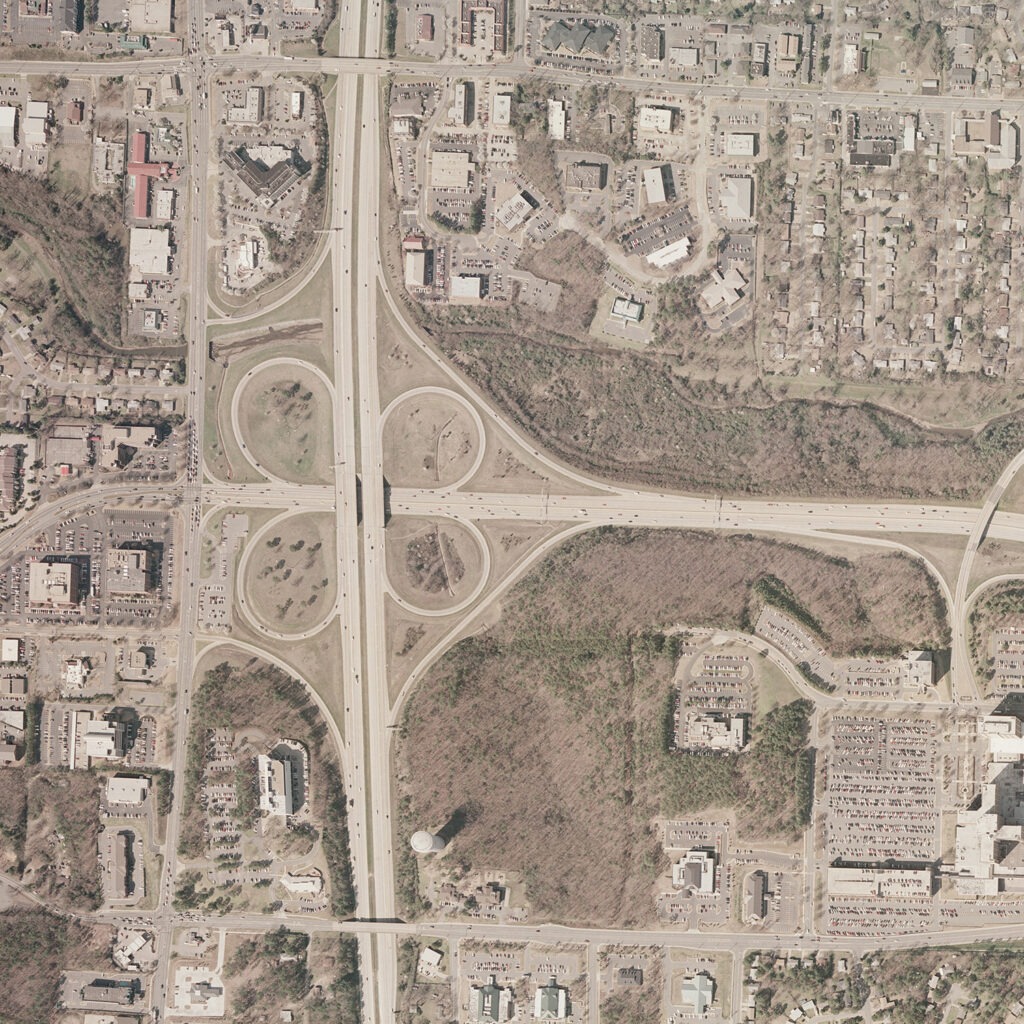
10 x 10 Enlargement 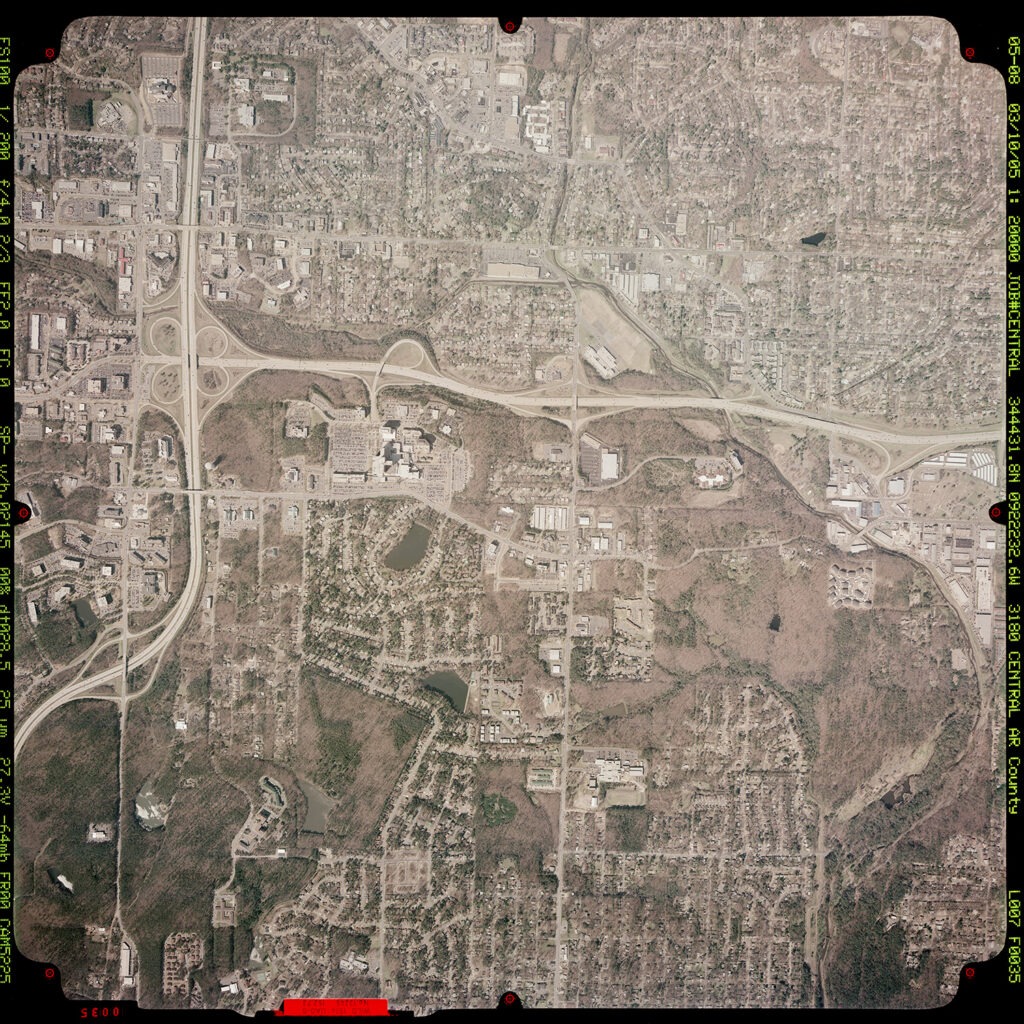
Color Contact Print
Pricing
Effective January 1, 2018
| SIZE IS APPROXIMATE ON ENLARGEMENTS | COST |
| 10″x 10″ Contact Print | $7.00 |
| 10″x 10″ Enlargement/Paper | $7.00 |
| 20″x 20″ Enlargement/Paper | $28.00 |
| 40″x 40″ Enlargement/Paper | $112.00 |
| 10″x 10″ Contact Digital File on DVD | $7.00 |
Prices for the above-listed reproductions are revised annually and are subject to change without notice.
If the order falls between the sizes listed, you will be charged for the next larger size.
(Supersedes previous price list December 2017.)
Download GIS datasets and Free Aerial Photography from Geostor.