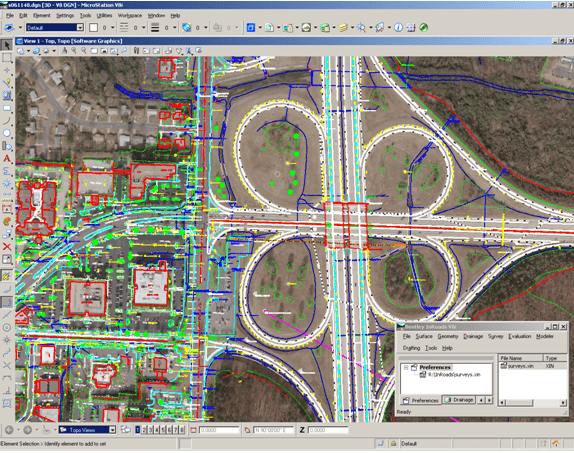
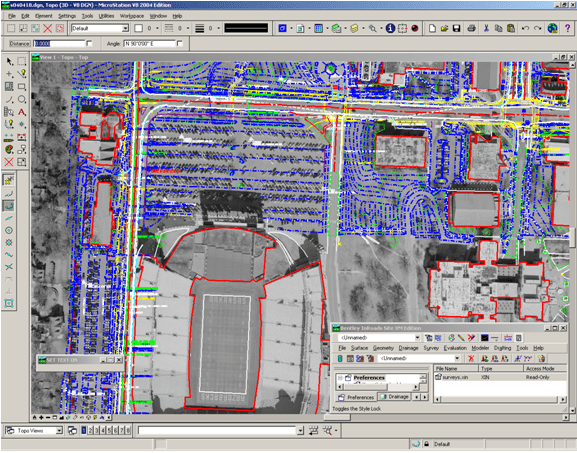
The Surveys Division utilizes multiple state-wide crews, along with certified survey consultants, to produce Engineering Surveys for transportation projects. Engineering Surveys present the topography, terrain, utilities, drainage, and other features that must be considered during the design of a project. They are often comprised of multiple data sets, including information obtained through remote sensing (photogrammetry and LiDAR), conventional surveys (total stations and leveling), and GNSS surveys (Real-time Network and Real-time Kinematic).
This information is provided to designers in the form of Computer Aided Drafting and Design (CADD) and Digital Terrain Model (DTM) files. The designers then use this information to establish horizontal and vertical alignments, and compute earthwork, stone, asphalt, and various other quantities for a proposed transportation project.