The 3-Dimensional (3-D) models located on this page were produced from laser scans taken of the three bridges. These scans were also used to produce measured drawings for the Ward’s Crossing Bridge and the Old River Bridge. To learn more about this work please read the information below the 3-D models.
The idea of using a laser scanner to document historic bridges that are to be replaced or relocated began as a research project sponsored by the Arkansas Transportation Research Committee.
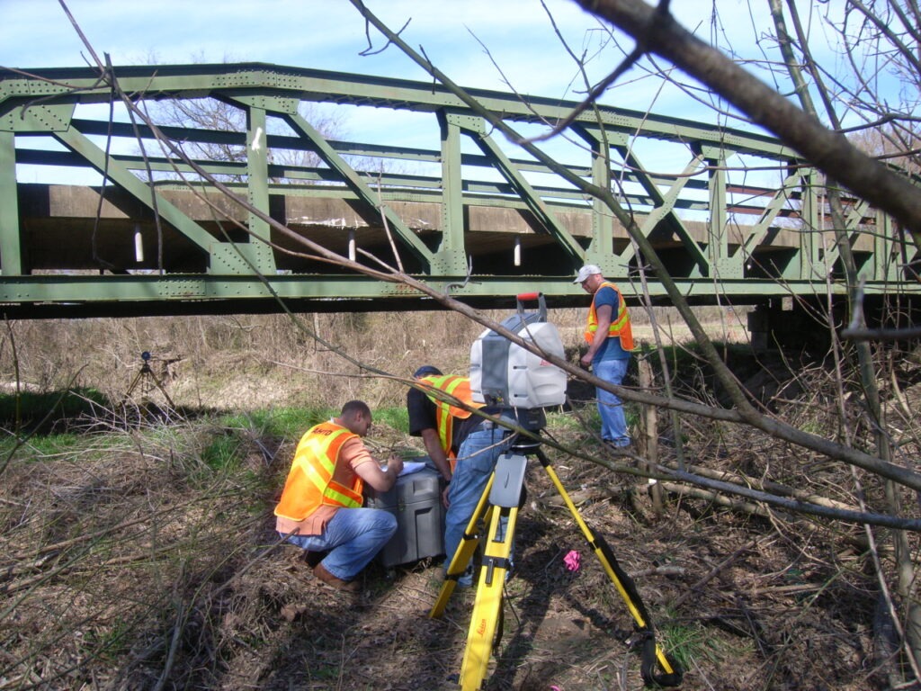
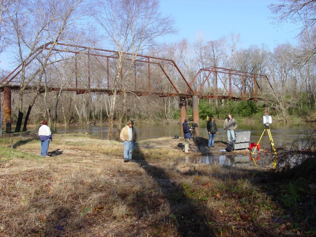
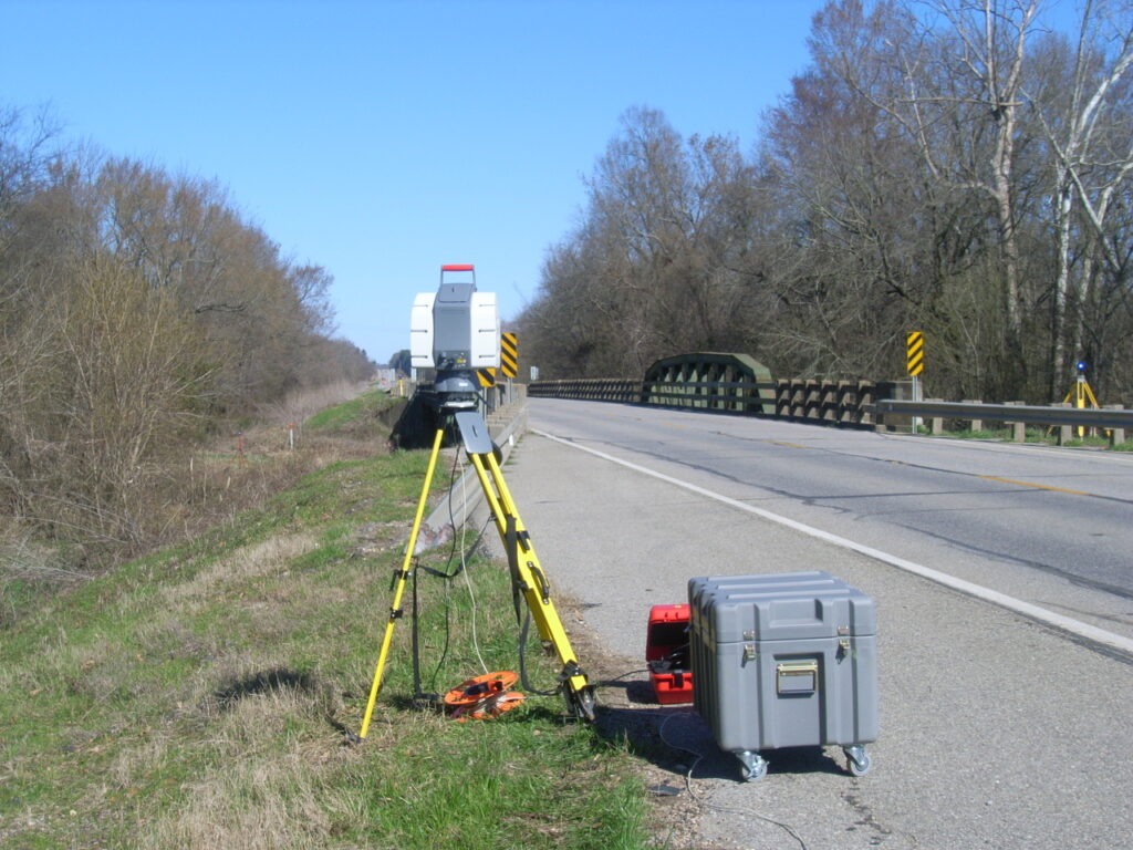
A research project was proposed to determine if a laser scanner could produce the measurements necessary to produce Historic American Engineering Record (HAER) level measured drawings for abandoned historic bridges that were unsafe for National Park Service (NPS) architects to measure in the traditional way. In coordination with the Arkansas Department of Transportation (ARDOT) Surveys Division a laser scanner was purchased and two test bridges were selected. The test bridge was the Old River Bridge in Saline County, which had been abandoned since the mid 1970s and the control bridge was the Ward’s Crossing Bridge, which was drawn by the HAER section of the NPS in 2005. Both bridges were scanned and measured drawings were produced by a consultant using the point cloud. The results confirmed that the required measurements could be collect by using the laser scanner to produce accurate drawings and, in addition, the measured drawings reflected the “as found” condition of the bridges, which reflects all the dings and dents that usually give historic bridges their character.
The results of the research project determined that the benefits of using the laser scanner to scan historic bridges include: reduced data collection field time (usually 3-4 days), reduced cost and time to have the drawings produced, and the added bonus of the production of a 3-D model for the bridge.
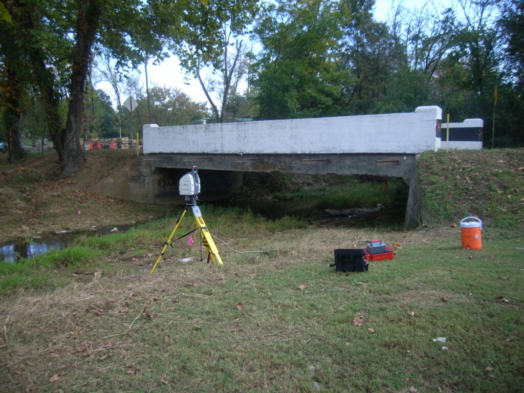
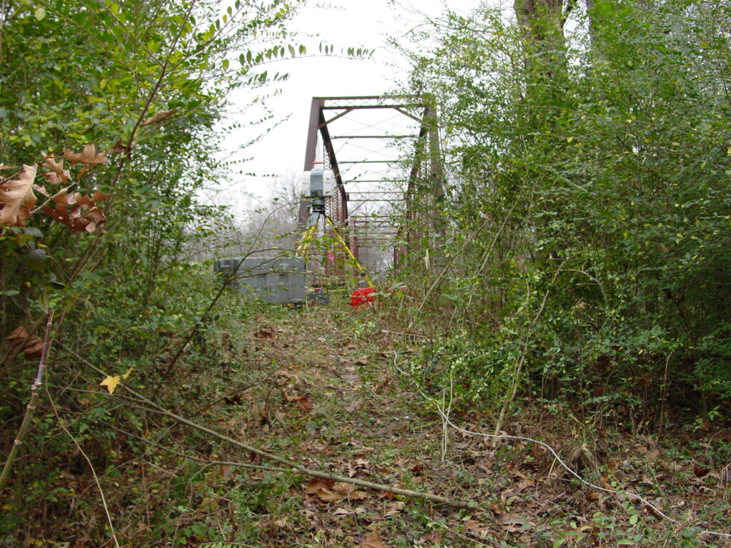
The project was so successful that ARDOT has begun to use the laser scanner to document most historic bridges that will be replaced or relocated. Generally, the point cloud collected from the scan of the bridge is used to produce a 3-D model of the bridge and then is stored to be used later to produce measured drawings.