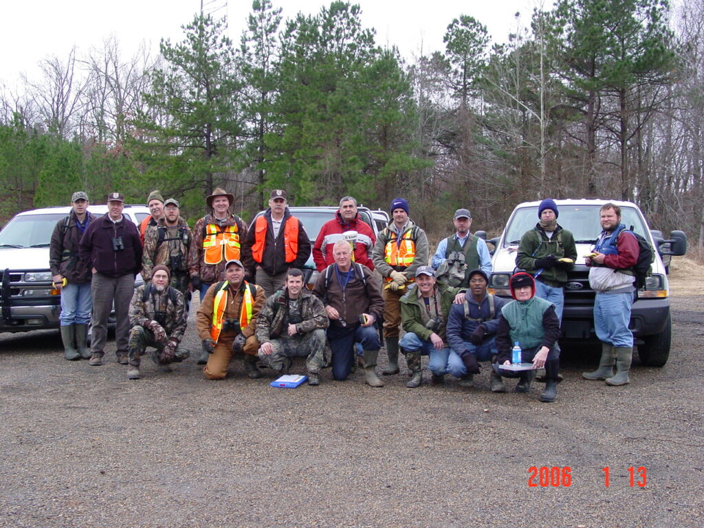
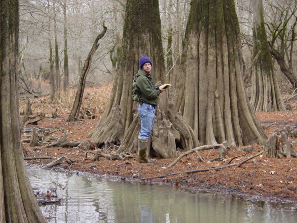
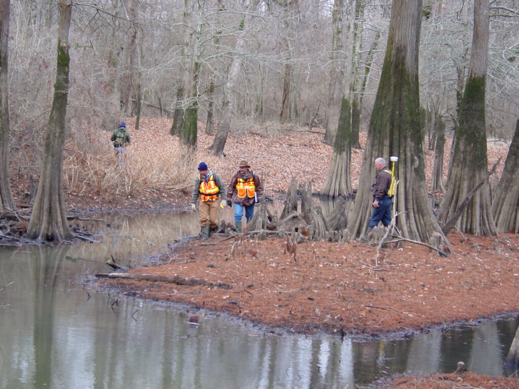
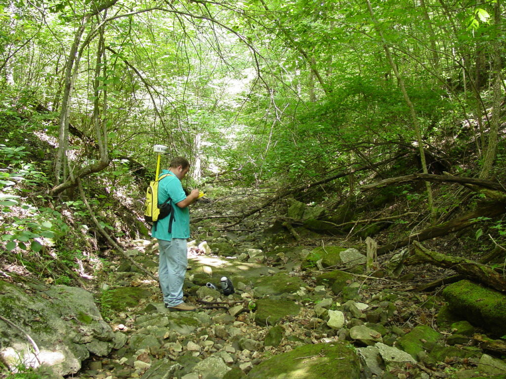

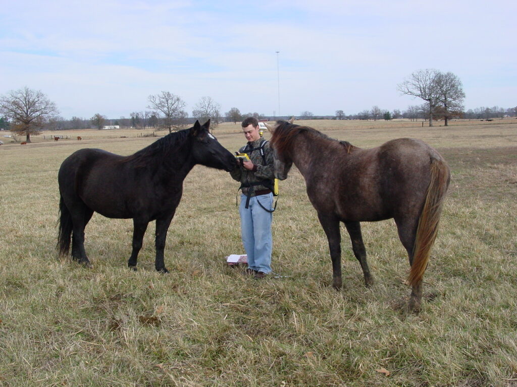
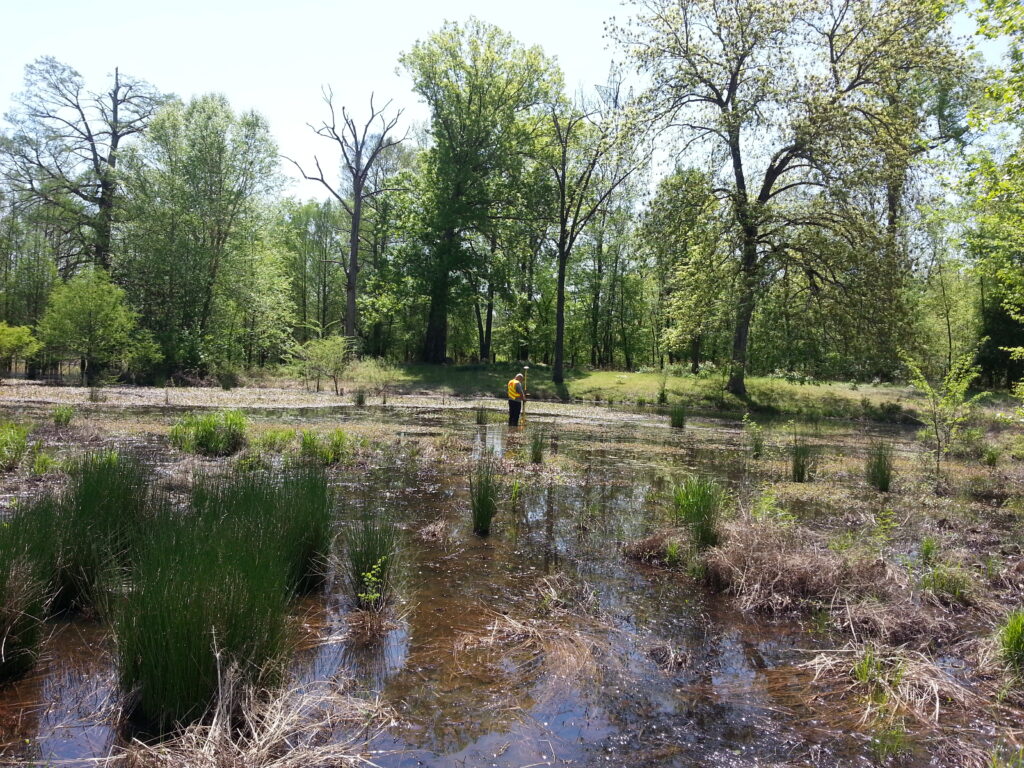
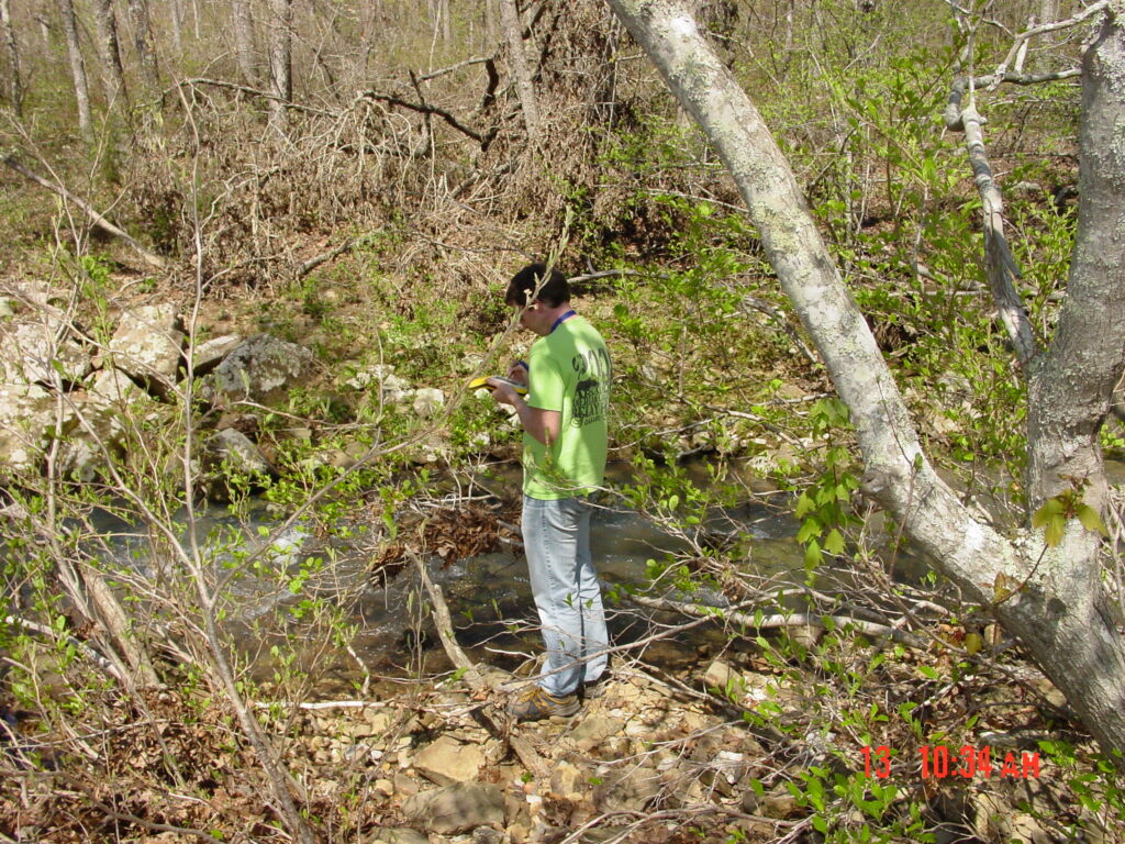
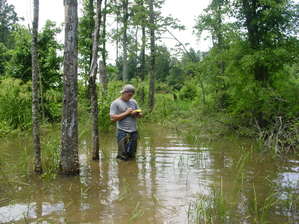
Global Navigation Satellite Systems (GNSS) technology allows the Environmental Division to collect a wide variety of data in the field, which includes, but not limited to, archeological sites, wetlands, streams, hazardous waste locations, outfalls, mitigation area monitoring plots, and so much more.
Another application of GNSS is for real-time navigation. Design for projects is often made into a background file that can be navigated along in the field, so the Environmental Division staff member knows if they are along the new alignment or within the proposed right of way.
The Environmental Division strives to stay current with GNSS application methods and equipment. As a Division we utilize Trimble equipment and software as well as Esri field apps. We have used everything from the early Trimble GeoExplorer series through current models to backpack units to tablets. We have made use of external antennas and receivers. To accommodate for the types of conditions we sometimes have to work in, we have also employed the use of various correction services.
Contact Robert Reed, Advanced GIS/Data Management Specialist, at 501.569.2637 or by email if you have any questions.